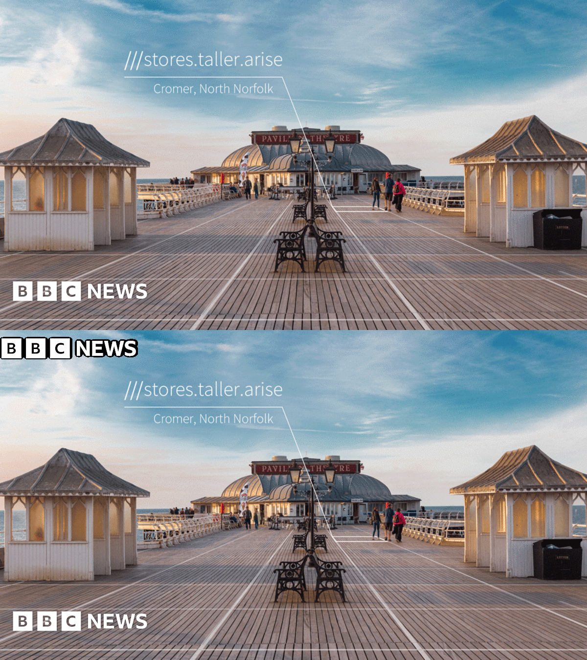
I've been trying to work out how What3Words works, and they're not explicit about it but their "3m squares" appear to be a square grid superimposed on Google Maps... which is a Mercator projection. Obviously if that's the case, these "squares" will only actually be squares at the equator, and shrink to quite tiny trapeziums near the poles.
Actually, the Mercator projection would put either pole at infinity. Google Maps does not include the poles, so far as I can see the limiting latitude is ±85°... so does W3W cover the poles or not? According to their FAQs:
https://support.what3words.com/en/articles/3579853-how-does-what3words-work-at-the-north-and-south-poles said:
Squares do not fit perfectly onto a sphere. This means the squares are slightly squashed at the poles.
...which implies they do (but if you can't click on it in Google Maps, how do you find out what your W3W location is?).
Then there's another mystery: W3W say they need 57 trillion word combinations to cover the surface of the Earth. The Earth's surface area is 5.1x10^14 sq.m, and 5.7x10^13 x 9 sq.m = 5.13x10^14 – pretty well bang on... but that does not account for the shrinkage of Mercator.
This isn't adding up.
Do they allocate locations on a uniform 3m x 3m spacing locally on the sphere? Apparently not – I went to the northerly extreme of Google Maps on the W4W website, and there are the squares on the W3W overlay still projected as squares (which means they are anything but squares on the ground)... and clicking in each one brings up a separate W3W location.
In another FAQ:
https://support.what3words.com/en/articles/4152939-what3words-vs-latitude-and-longitude-gps-coordinates-and-the-british-national-grid-referencing-system-ordnance-survey said:
what3words addresses are a human-friendly way of giving the same information as 16 digit GPS coordinates:
51.520847, -0.19552100 ←→ /// filled.count.soap
They've screwed that up: the longitude could be three digits before the point! However, 180 million latitudes x 360 million longitudes comes to 6.48x10^16 (ie 3 magnitudes out) so that doesn't work either, however you read it. Allocating W3W locations purely by binning latitudes and longitudes and achieving 5.7x10^13 bins requires a resolution of about 0.000016°.

spacenews.com


 )
)


